// Selected work

Three decades
of delivered projects.

Government infrastructure and private development, from KeRRA road corridors to 200-plot coastal subdivisions. Trusted by KeRRA, county governments and leading developers.

// Proven record
Government & private, 1994–today
9+
Government & county projects
200+
Plots in a single subdivision
150+
Smallholder farmers titled
GIS
County spatial planning
// Featured projects

Work we'll stake our name on.
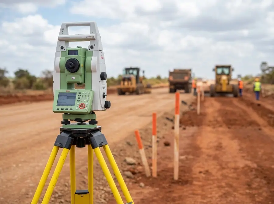
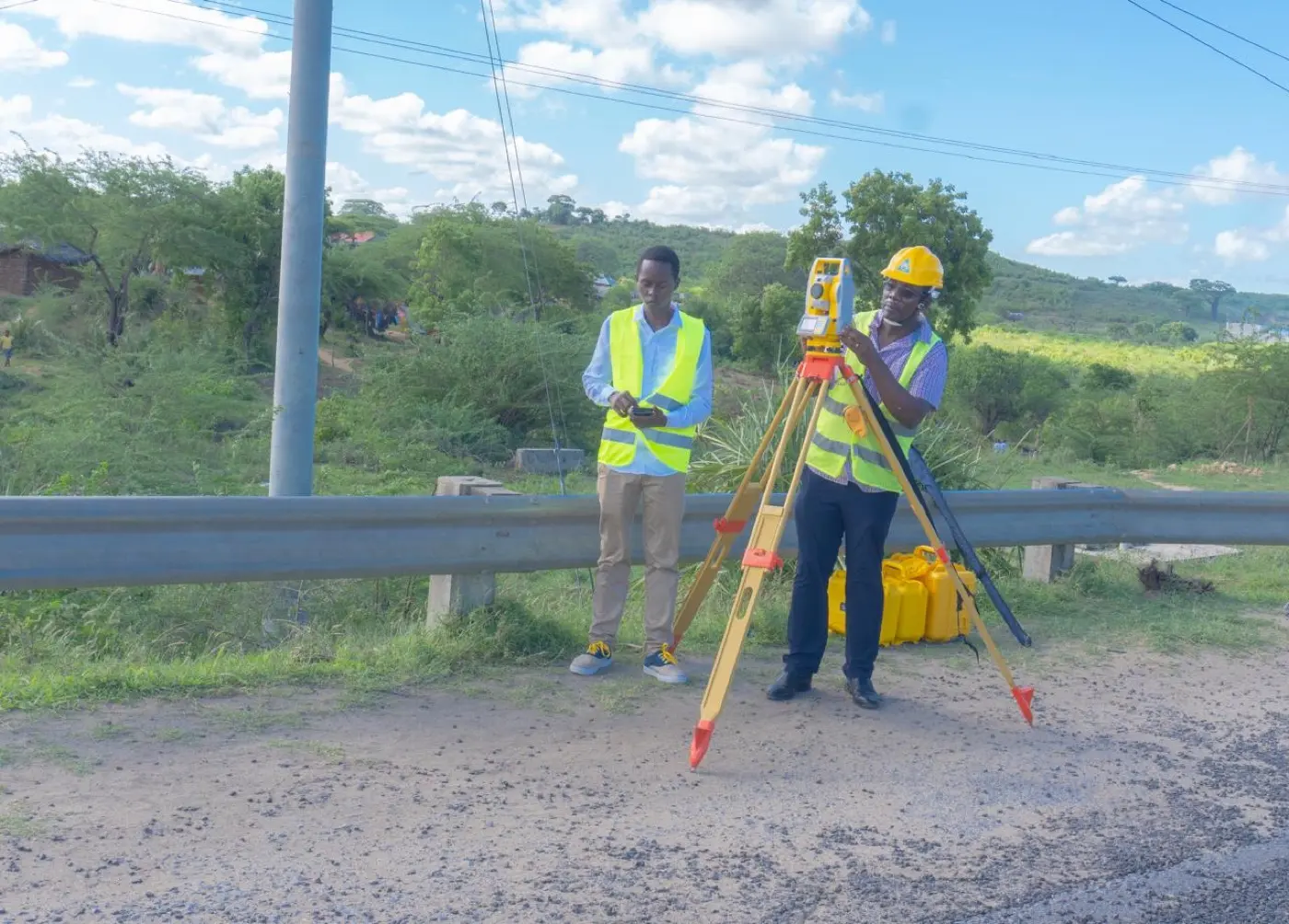
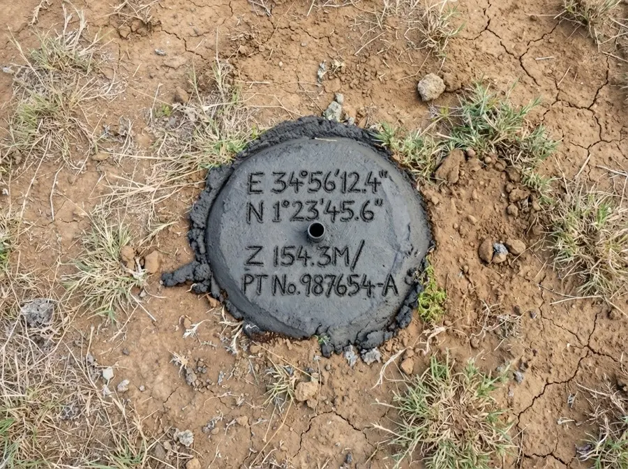
Engineering survey for a KeRRA road rehabilitation project in Kilifi County 2020–2024

KeRRA Road Rehabilitation

Kenya Rural Roads Authority·Kilifi County

Engineering surveys for multiple road rehabilitation projects meeting the Kenya Road Design Manual 2025.

✓ CORS-referenced RTK positioning
Survey team conducting topographic and engineering road surveys in Kilifi 2018–2024

County Road Network Surveys

Kilifi County Government·Kilifi

Topographic and engineering surveys for county road development across multiple locations.

✓ Long-term partnership, ongoing support
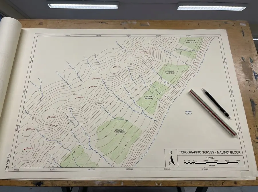
Large-scale cadastral subdivision survey for a coastal tourism development in Malindi 2023

Coastal Development Subdivision

Private Developer·Malindi

Large-scale cadastral subdivision for a coastal tourism development project.

✓ 200+ plots, fully Ardhisasa-compliant
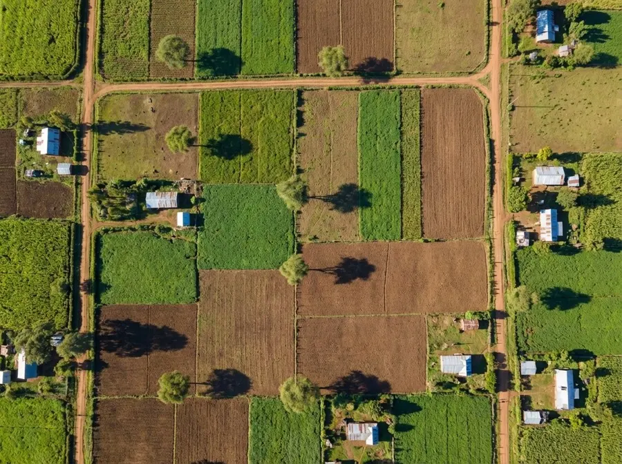
Aerial cadastral mapping of agricultural land parcels for a titling programme 2022–2023

Agricultural Land Titling

Farmers Cooperative·Kilifi County

Cadastral surveys for cooperative land title-deed applications across the county.

✓ 150+ smallholder farmers titled
Topographic survey and subdivision planning for a residential estate in Watamu 2023

Residential Estate Planning

Real Estate Developer·Watamu

Topographic survey, subdivision and infrastructure planning for a 50-acre development.

✓ 50 acres, DEM & drainage analysis
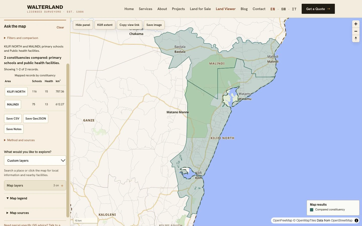
Walterland Land Viewer comparing primary schools and public health facilities in Kilifi North and Malindi 2026

Walterland Land Viewer

Walterland·Kilifi County

Free interactive GIS atlas with mapped schools, health facilities, settlements and infrastructure. Explore nearby facilities, compare areas and share maps.

✓ Walterland-branded maps and CSV / GeoJSON exports
// Public sector

A trusted government partner.

Our work with the Kenya Rural Roads Authority (KeRRA) and Kilifi County Government demonstrates our capability to deliver large-scale infrastructure with precision and reliability — surveys that consistently pass government review on first submission.

KeRRA Projects

Multiple road rehabilitation surveys across Kilifi County, all meeting the Kenya Road Design Manual 2025.

County GIS Support

We can help county governments develop GIS systems, organise spatial data and train their teams.

Strong Approval Record

Surveys consistently pass government review on first submission — quality that meets standards the first time.

// Start your project

From a single plot to a government contract.

Discuss your project →