From a Malindi practice to a national partner.
Founded in 1994 by Principal Surveyor Walter Okoth, Walterland Company Limited has grown from a local surveying practice in Malindi to one of Kenya's respected land surveying and construction firms.
For over three decades we've served the coastal region with unwavering commitment to precision and integrity — from individual buyers protecting their investments to government road projects shaping infrastructure.
Today we operate from three strategic offices in Malindi (HQ), Watamu and Kisumu, offering integrated surveying, GIS and construction services for government and private clients.
Led by a surveyor who signs every plan.
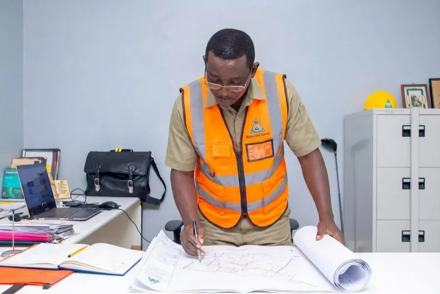
Walter Okoth founded Walterland in 1994 to bring professional surveying excellence to Kenya's coastal region. With over 30 years of continuous practice and ISK registration, he has personally supervised thousands of surveys across Kilifi, Kwale and Mombasa counties.
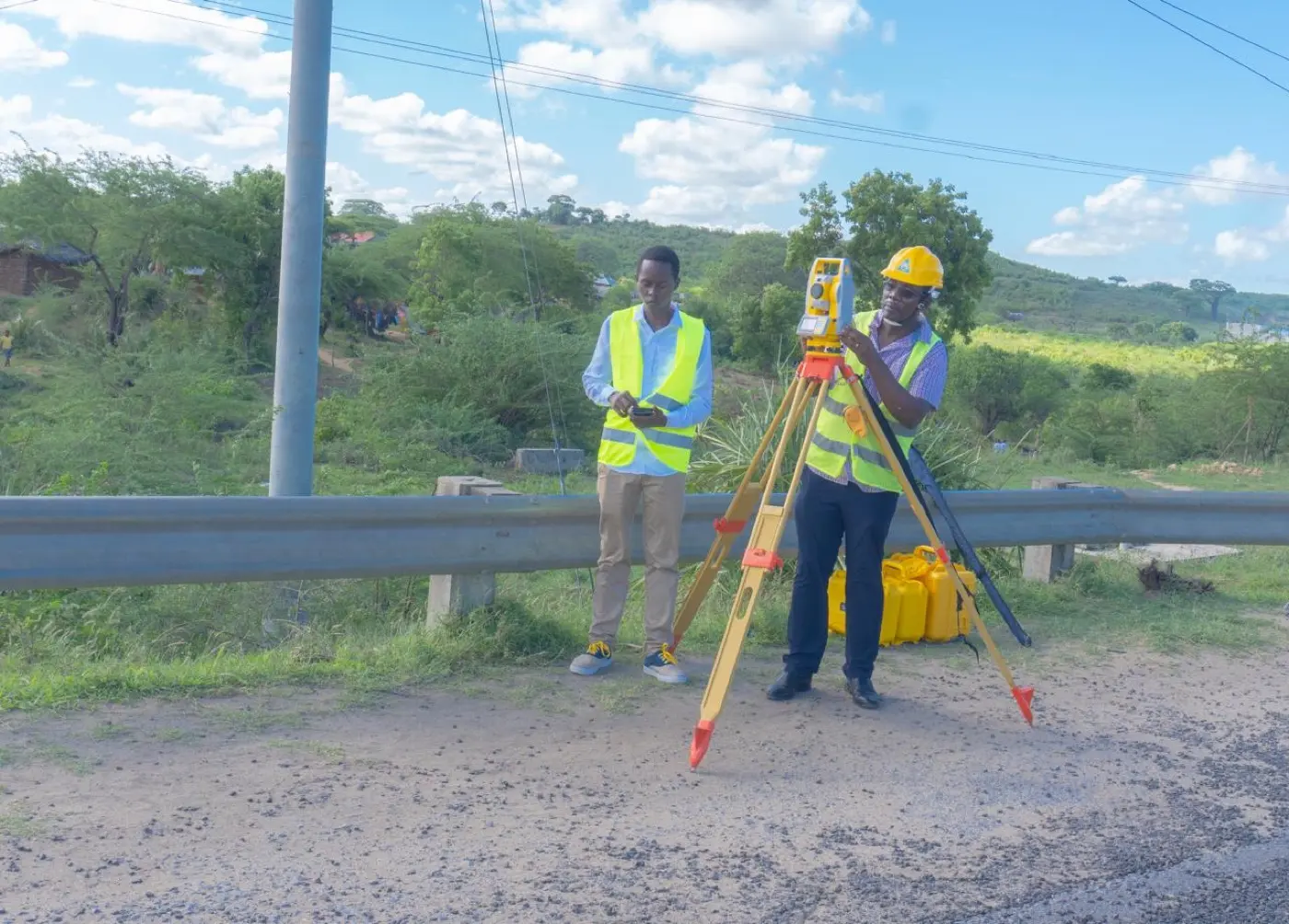
His expertise spans cadastral surveys, engineering surveys for road construction and topographic mapping for resort developments. A deep knowledge of coastal land regulations, tidal-zone boundaries and Malindi's property landscape makes Walterland the trusted partner for international investors, government agencies and local developers.
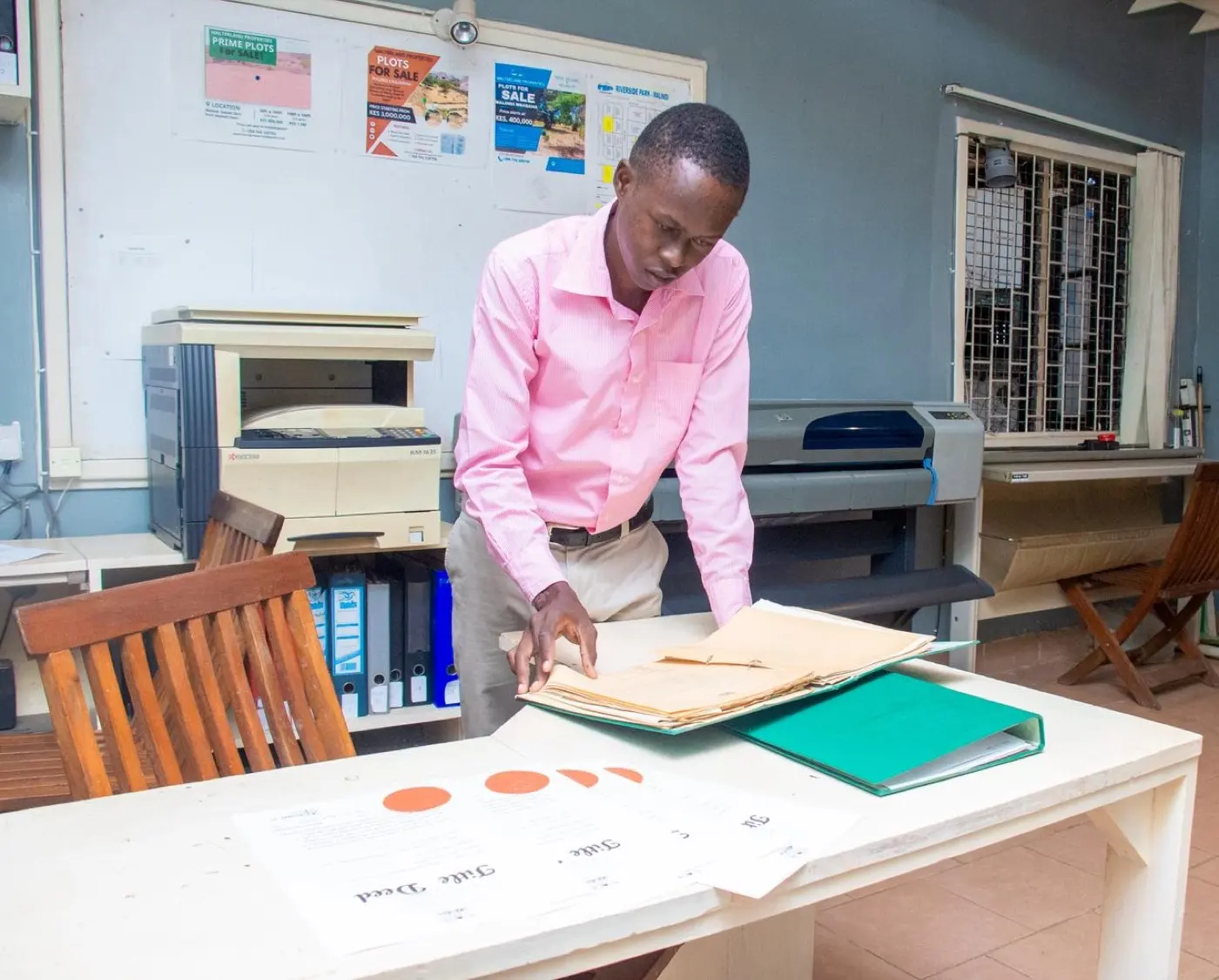
The people behind the field records.
Walterland's public profiles put names behind the signed plans, client conversations and spatial data. Start with Walter Okoth, then meet the team carrying the standard forward.
Walter Okoth
Founder and principal licensed surveyor behind the Walterland standard.
John Oyiera
Brand growth, sales, marketing and client relationships for the firm.
Joel Musonye
Field survey, GIS database, mapping, computations and spatial analysis.
Licensed, equipped, accountable.
ISK Registered
Institution of Surveyors of Kenya member in good standing. Licensed land surveyors for cadastral work across Kenya.
KCAA Licensed
Licensed UAV pilots with current ROC certificates for legal commercial drone operations.
Survey Equipment
RTK GPS / GNSS
Digital Levels
Laser Distance Meters
Aerial Survey
DJI Mavic 3 Enterprise
Photogrammetry
LiDAR Processing
GIS & CAD
AutoCAD Civil 3D
PostGIS Databases
Web-GIS Platforms
Data Management
Digital Deliverables
Ardhisasa Integration
Remote Collaboration
Three offices, one coast.
Malindi
Lamu Road, opposite Blue Marlin
Kilifi County
Watamu
Watamu Mall, Jacaranda Road
Watamu
Kisumu
Melvic Hotel, Ojijo Oteko Rd
Milimani, Kisumu